
Dredging Project Update 3: Cotuit Approach, Entrance, and Embayment Channel
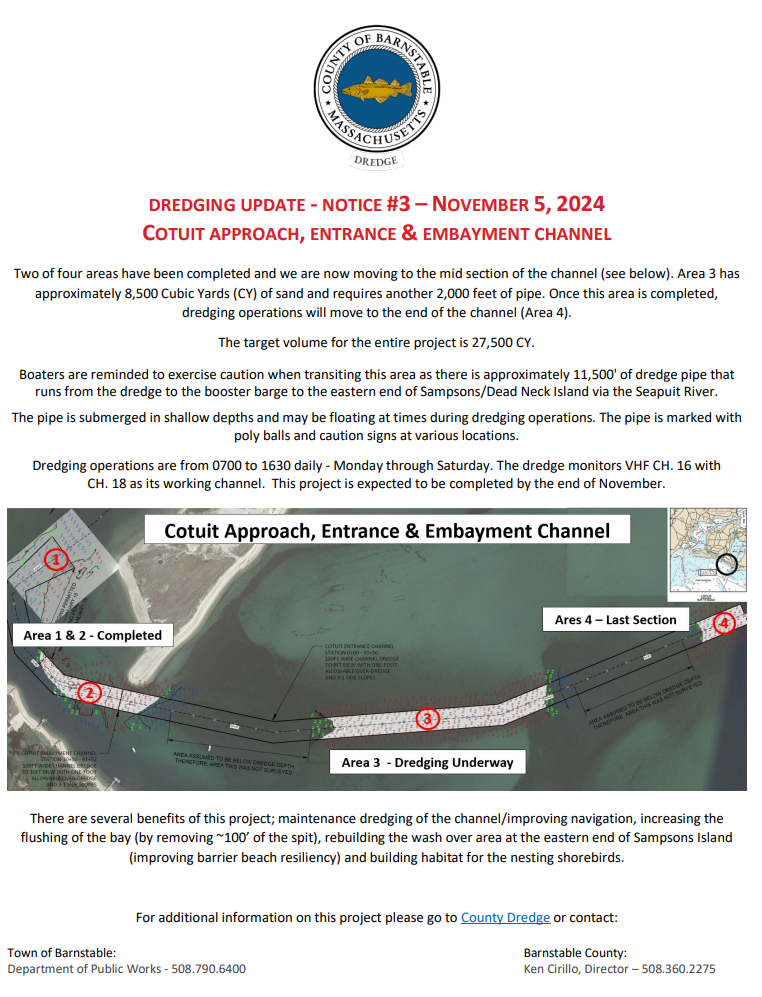
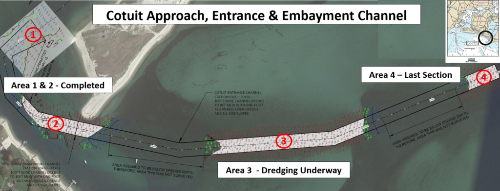
Two of four areas have been completed this past week and we are now moving to the mid-section of the channel (see below).
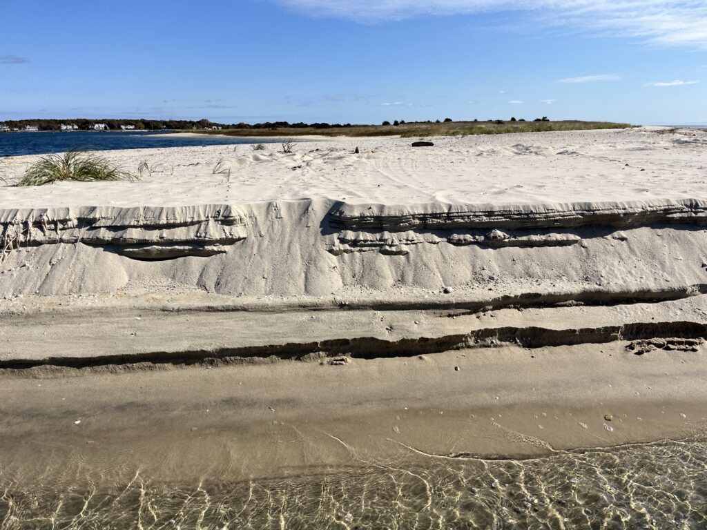
Area 2 resulted in the removal of approximately 100 feet of the spit (approximately 10,000 Cubic Yards of sand). It also required a special permit obtained by the Town of Barnstable to remove a shoal area to the west of the channel. Area 3 has approximately 8,500 Cubic Yards (CY) of sand and required another 2,000 feet of pipe. Once this area is completed, dredging operations will move to the end of the channel (Area 4) and additional lengths of pipe will be required.
The target volume for the entire project is 27,500 CY.
A three year dredging project in this same area completed by the County that ran from 2018 – 2020 removed 145,000 Cubic Yards of sand. A significant portion of the spit that was removed has ‘grown’ back over the past four years blocking the main channel as it heads out of the bay.
Weather/Seas now becomes a significant factor as we move out from the protection of the inside of the island. Winds from the Northeast to the South generally restrict dredging operations and require moving the dredge to protected waters delaying the projects completion.
This project has several benefits: maintenance dredging of the channel/improving navigation, increasing the flushing of the bay (by removing ~100’ of the spit), rebuilding the wash over area at the eastern end of Sampsons Island (improving barrier beach resiliency) and building habitat for the nesting shorebirds.
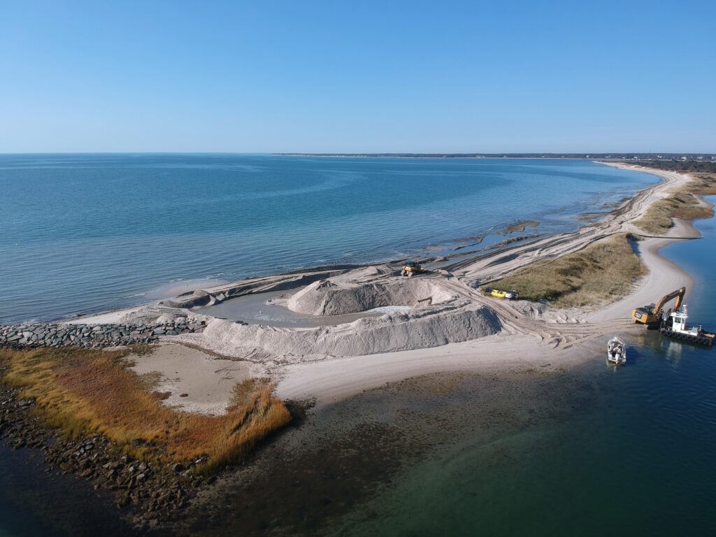
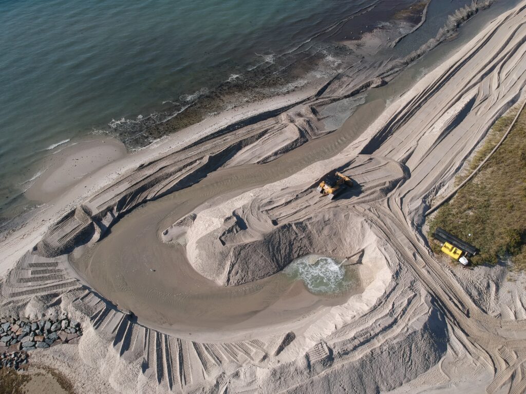
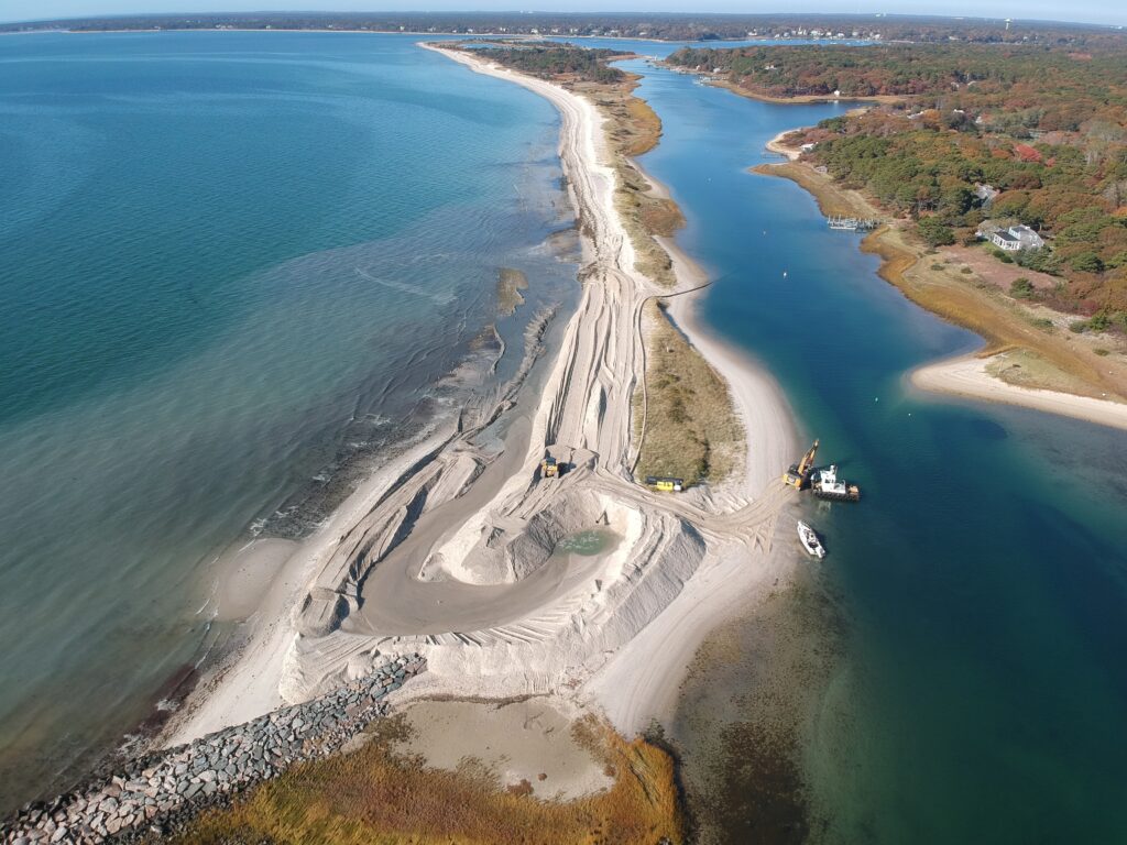
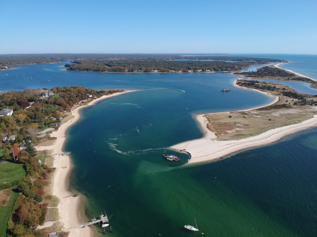
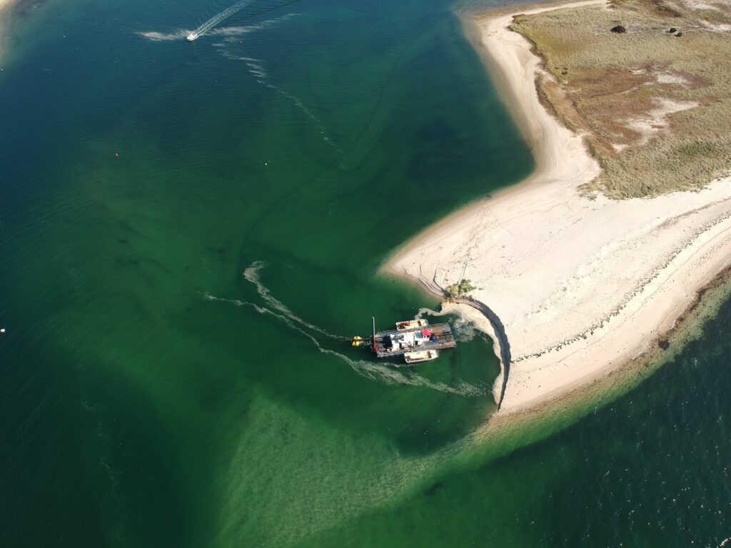
All of above photos are courtesy of the Town of Barnstable/Harbormasters Department and were taken on October 23, 2024.
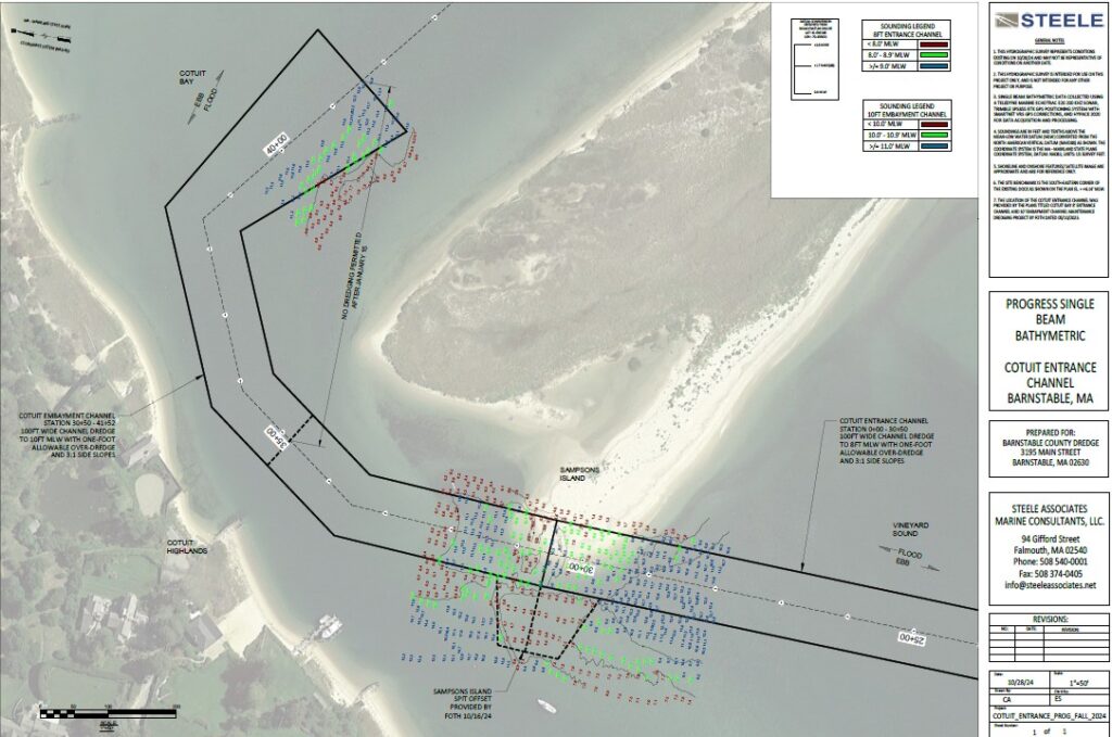
After completing Area 1 and the main section of Area 2, the County Dredge conducted a Progress Survey on October 28th to capture the work done to date. This is typically done when a significant volume has been dredged and the time to complete the rest of the project is weeks away and or when inclement weather is forecasted which may fill in areas already dredged.
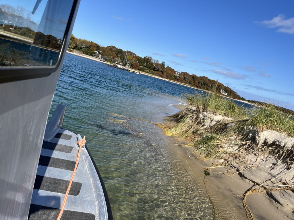
Parker’s River Approach & Entrance Channel
Mobilizing for this project is underway. The dredge Cod Fish II was moved from Cotuit along with sections of pipe from Falmouth and Harwich. A section of pipe was found to be damaged and repairs were required.
As soon as conditions permit (east/southeast and south/southwest winds generally prohibit operations in this area) mobilizing will continue by moving the dredge and pipe on station and dredging will begin.


